6 October
6 October · 18:49 UTC
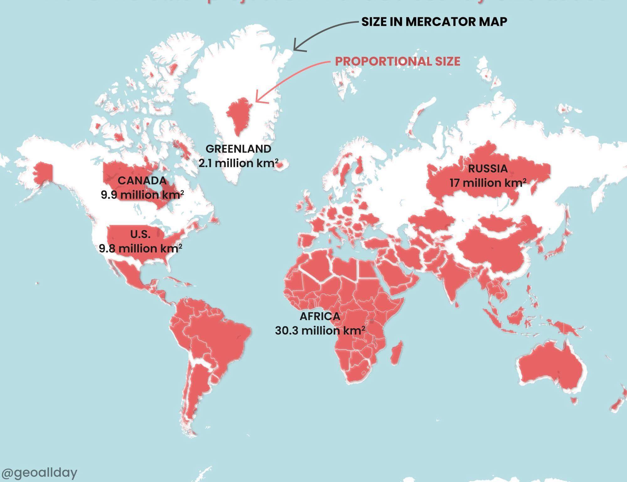
Look at the hugely inflated sense we’ve all grown up with of the size of northern hemisphere countries, due to the Mercator map projection, a mapping technique to try to make navigation by sea easier.
Nick Dee added a new photo.
1 media reference recorded in the export